
Standard Navigation, 48 Delaware Bay and C&D Canal
$42.90
Price when purchased online
Free shipping
Free 30-day returns
Sold and shipped by el42.de
We aim to show you accurate product information. Manufacturers, suppliers and others provide what you see here.
Product details
| Management number | 214525518 | Release Date | 2026/04/12 | List Price | $17.16 | Model Number | 214525518 | ||
|---|---|---|---|---|---|---|---|---|---|
| Category | |||||||||
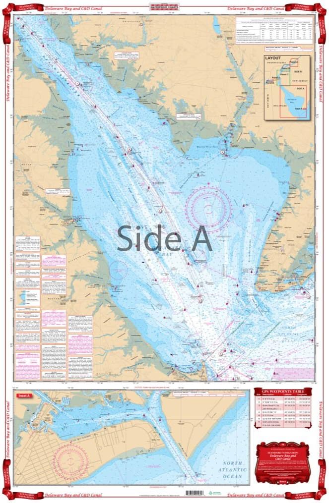
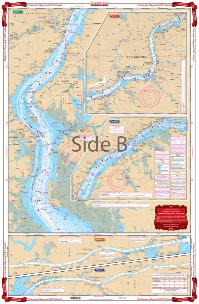
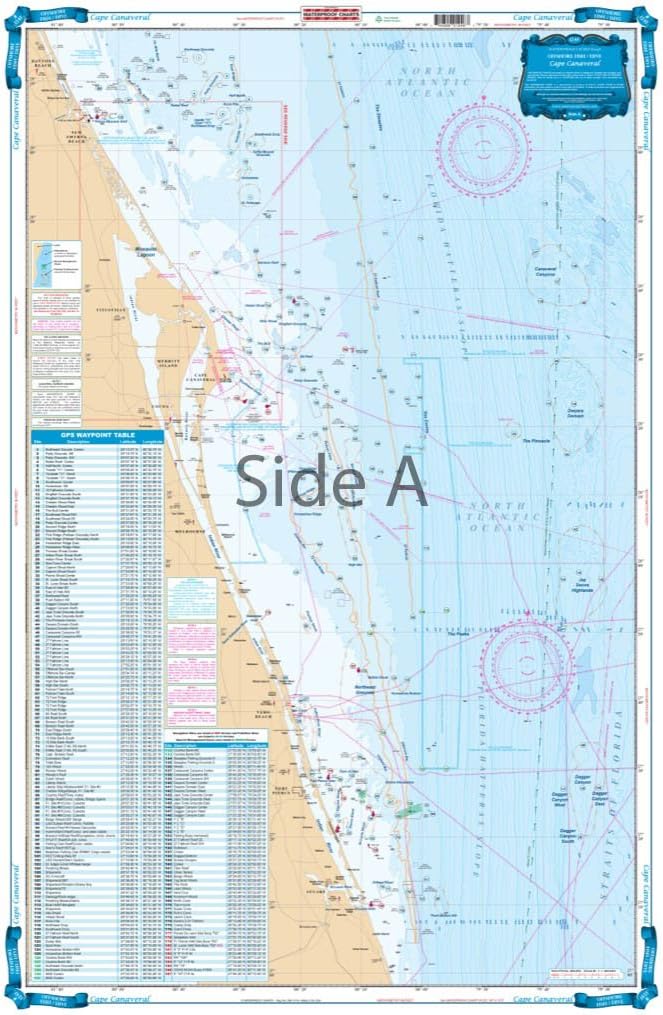
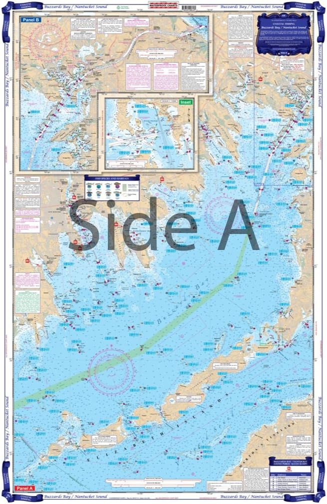
Covers the entire area from Northern Chesapeake Bay through the Chesapeake and Delaware Canal north to Philadelphia and Camden and south through Delaware Bay to Cape May and Cape Henlopen. Detail for Cape May Harbor. Covers Wilmington and Salem. information from 5 different NOAA Charts 12304, 12317,12277, 12312, 12311. WGS84-World Mercator Datum. 25" x 38"
- Two Sided
- Foldable
- Tear Resistant Synthetic Paper (Hop-Syn) 5 PP Tree Friendly
| UPC | 740399004806 |
|---|---|
| Brand Name | Waterproof Charts |
| Manufacturer | Waterproof Charts |
Bestseller ranking
Flexible Shafts


Customers who viewed this product also viewed
Charts & Maps


Correction of product information
If you notice any omissions or errors in the product information on this page, please use the correction request form below.
Correction Request Form